


Kralovehradecky kraj.png: Difference between revisions
From allmultimedia.cz
(++) |
m (Text replacement - "[[Kategorie:" to "[[Category:") |
||
| Line 8: | Line 8: | ||
+ pochází z Wikimedia Commons, kde má status – Creative Commons Attribution-Share Alike 3.0 Unported license. | + pochází z Wikimedia Commons, kde má status – Creative Commons Attribution-Share Alike 3.0 Unported license. | ||
[[ | [[Category:CC fotografie]] | ||
[[ | [[Category:Locator maps of the Czech Republic]] | ||


Latest revision as of 09:49, 29 October 2026
Mapa + Description: Česky: Královéhradecký kraj na mapě Česka.
- Založeno na Image:Cesko-kraje.svg, zeditoval Miraceti.
- English: Location of the Hradec Králové Region in Czechia.
- Based on Image:Cesko-kraje.svg, edited by Miraceti.
- Date: August 2009
- Author: Ria, Miraceti
+ pochází z Wikimedia Commons, kde má status – Creative Commons Attribution-Share Alike 3.0 Unported license.
File history
Click on a date/time to view the file as it appeared at that time.
| Date/Time | Thumbnail | Dimensions | User | Comment | |
|---|---|---|---|---|---|
| current | 17:49, 18 April 2026 | 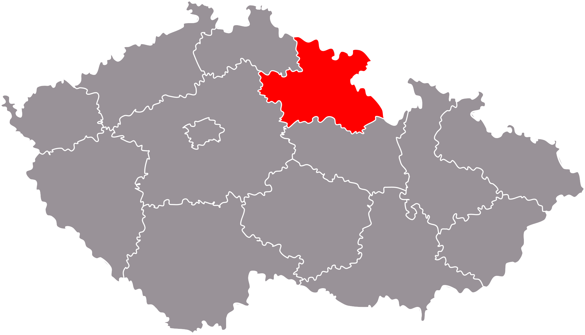 | 2,000 × 1,145 (239 KB) | Admin-allmultimedia (talk | contribs) | == Popis == Locator117 |
You cannot overwrite this file.
File usage
The following page uses this file:
