České okresy 1960.png: Porovnání verzí
Jump to navigation
Jump to search
(== Popis == Locator117) |
(++) |
||
| Řádek 1: | Řádek 1: | ||
Mapa + English: Maps of districts in the Czech Republic in territorial regions (Law No. 36/1960 Coll.) with current borders since January 1, 2007 | |||
* Čeština: Mapa okresů České republiky v územních krajích (zákon č. 36/1960 Sb.) s hranicemi platnými od 1. ledna 2007 | |||
* Date: 31 March 2011 | |||
* Author: Loveabout | |||
+ pochází z Wikimedia Commons, kde má status – I, the copyright holder of this work, release this work into the public domain. This applies worldwide. | |||
[[Kategorie:PD fotografie]] | |||
[[Kategorie:Locator maps of the Czech Republic]] | |||
Aktuální verze z 10. 5. 2026, 17:45
Mapa + English: Maps of districts in the Czech Republic in territorial regions (Law No. 36/1960 Coll.) with current borders since January 1, 2007
- Čeština: Mapa okresů České republiky v územních krajích (zákon č. 36/1960 Sb.) s hranicemi platnými od 1. ledna 2007
- Date: 31 March 2011
- Author: Loveabout
+ pochází z Wikimedia Commons, kde má status – I, the copyright holder of this work, release this work into the public domain. This applies worldwide.
Historie souboru
Kliknutím na datum a čas se zobrazí tehdejší verze souboru.
| Datum a čas | Náhled | Rozměry | Uživatel | Komentář | |
|---|---|---|---|---|---|
| současná | 18. 4. 2026, 18:49 | 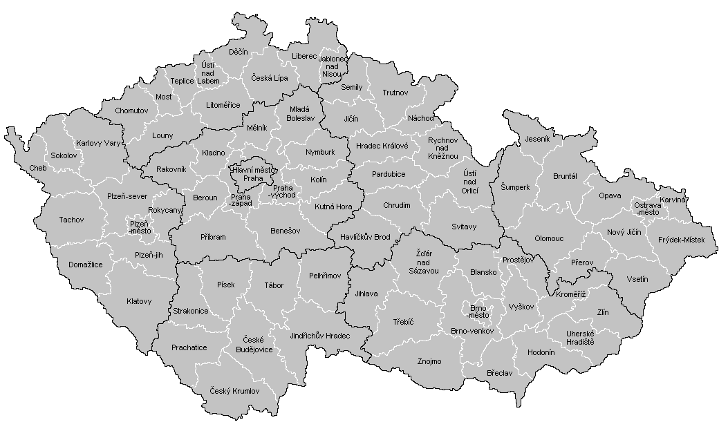 | 1 053 × 624 (61 KB) | Admin-allmultimedia (diskuse | příspěvky) | == Popis == Locator117 |
Tento soubor nemůžete přepsat.
Využití souboru
Tento soubor nepoužívá žádná stránka.