Map CZ - district Praha-vychod.PNG: Porovnání verzí
Jump to navigation
Jump to search
(== Popis == Locator117) |
(++) |
||
| Řádek 1: | Řádek 1: | ||
Mapa + Description: Location of Prague-East District in Central Bohemian Region and the Czech Republic. | |||
* The map shows extent of the district as until December 31, 2006. | |||
* Date: | |||
* Author: Michiel1972 | |||
+ pochází z Wikimedia Commons, kde má status – I, the copyright holder of this work, release this work into the public domain. This applies worldwide. | |||
[[Kategorie:PD fotografie]] | |||
[[Kategorie:Locator maps of the Czech Republic]] | |||
Aktuální verze z 10. 5. 2026, 18:38
Mapa + Description: Location of Prague-East District in Central Bohemian Region and the Czech Republic.
- The map shows extent of the district as until December 31, 2006.
- Date:
- Author: Michiel1972
+ pochází z Wikimedia Commons, kde má status – I, the copyright holder of this work, release this work into the public domain. This applies worldwide.
Historie souboru
Kliknutím na datum a čas se zobrazí tehdejší verze souboru.
| Datum a čas | Náhled | Rozměry | Uživatel | Komentář | |
|---|---|---|---|---|---|
| současná | 18. 4. 2026, 18:49 | 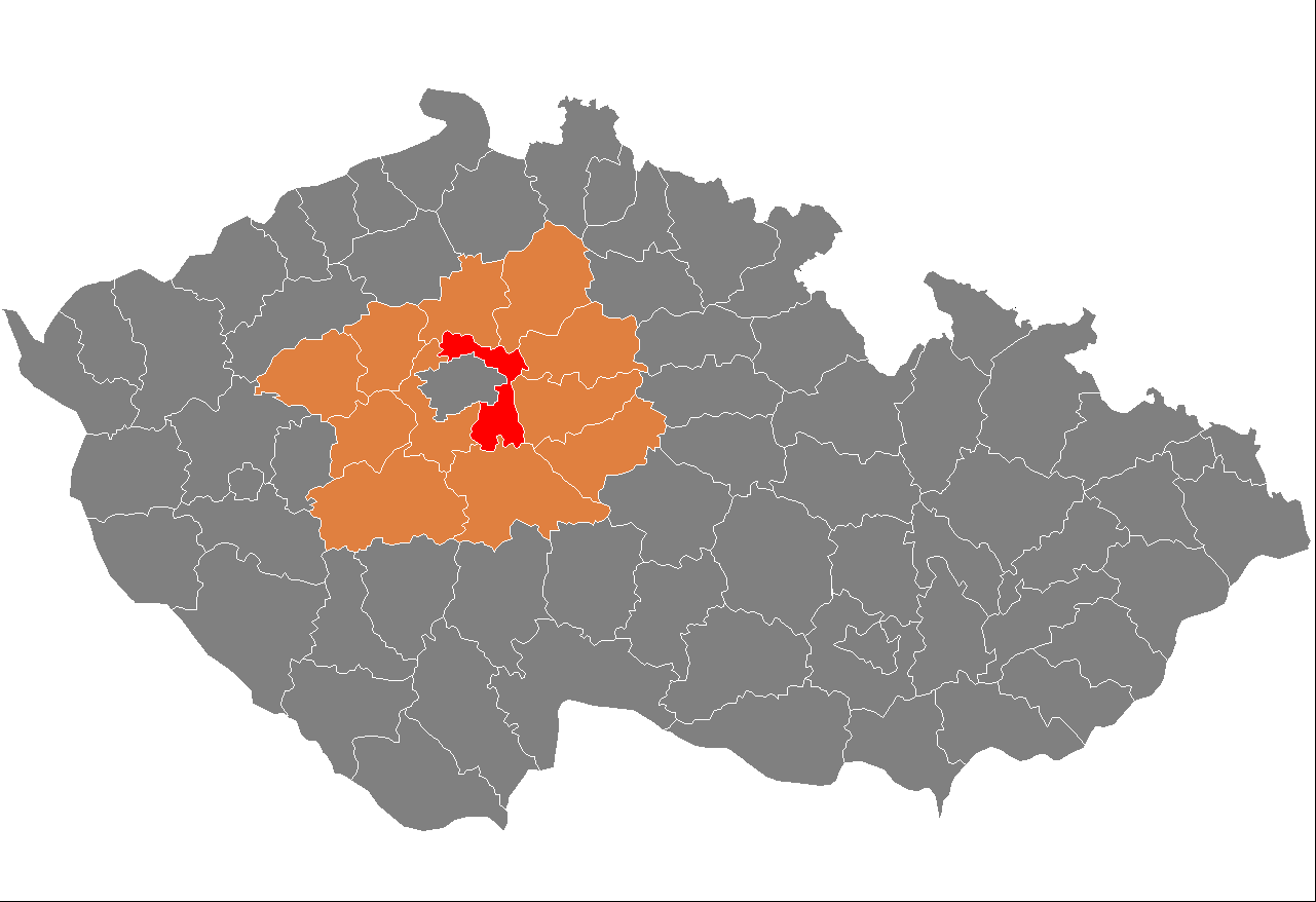 | 1 281 × 878 (37 KB) | Admin-allmultimedia (diskuse | příspěvky) | == Popis == Locator117 |
Tento soubor nemůžete přepsat.
Využití souboru
Tento soubor používá následující stránka: