


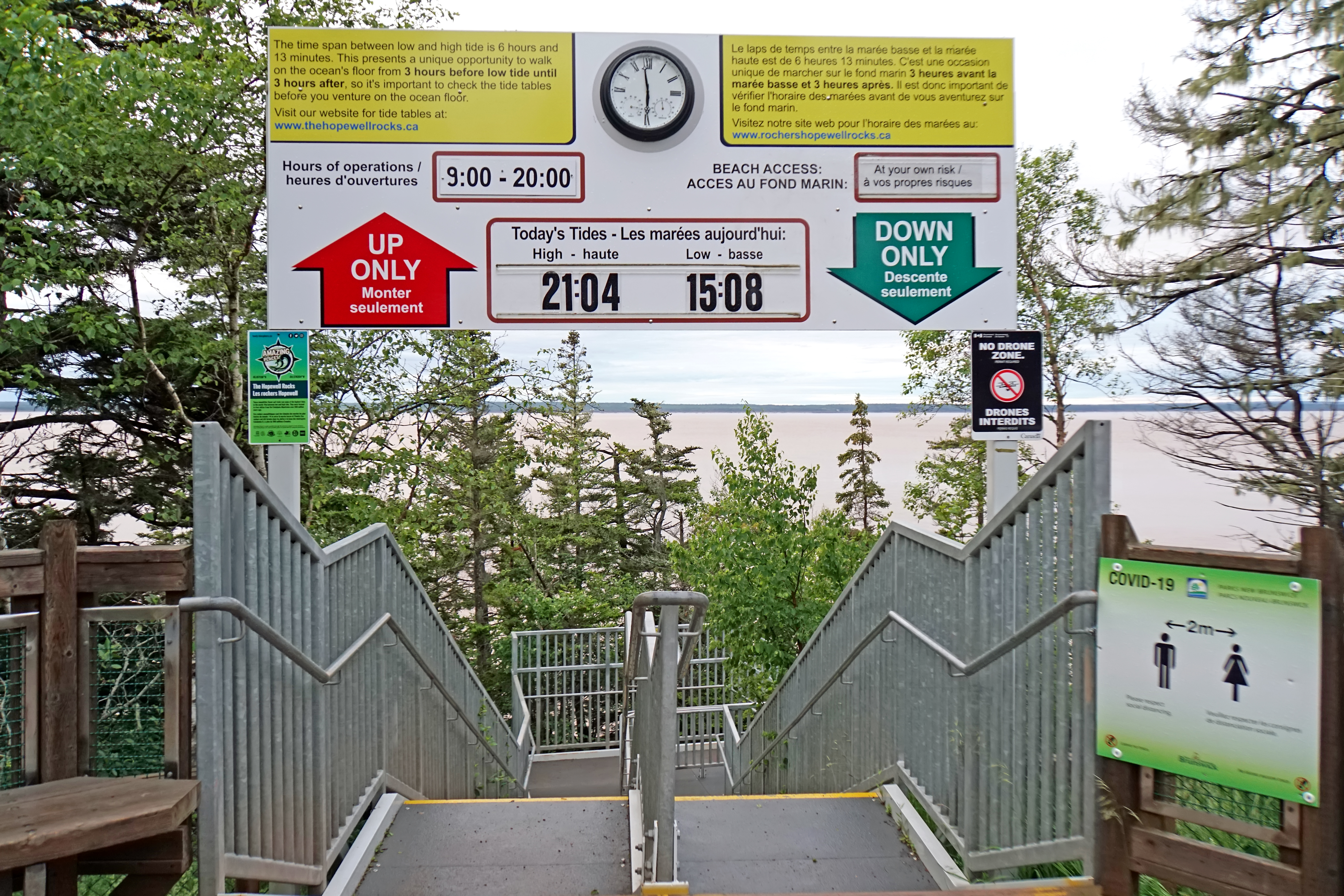
Entrance to Hopewell Rocks-NB-00030-DJFlickr.jpg
From allmultimedia.cz


Size of this preview: 800 × 533 pixels. Other resolutions: 2,560 × 1,707 pixels | 6,000 × 4,000 pixels.
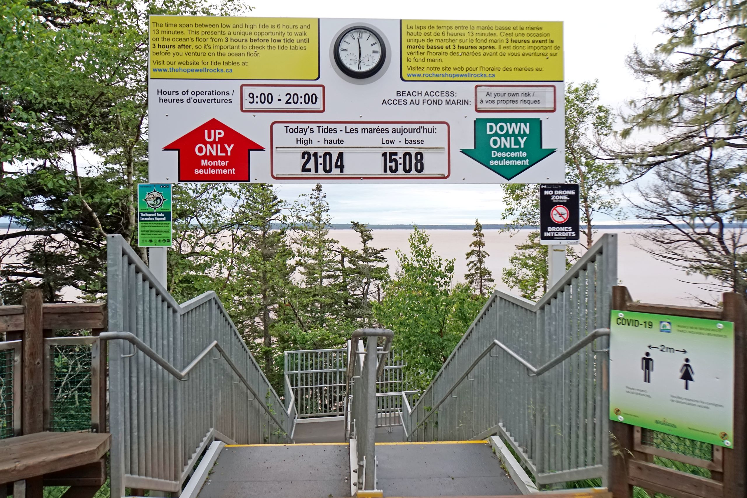
Original file (6,000 × 4,000 pixels, file size: 13.04 MB, MIME type: image/jpeg)
Fotografie + English: NB-00030 - Entrance to Hopewell Rocks (Taken on July 5, 2021, Sony ILCE-6300)
- The tide tables were for the day before. I was here at 5:58 am as the tide was suppose to start coming in at 7:11 am and I wanted to have the tide out.
- Hopewell Rocks, also called the Flowerpots Rocks or simply The Rocks, are rock formations caused by tidal erosion. They are 12.2 - 2.13 meters (40–70 ft) tall.
- They are located on the shores of the upper reaches of the Bay of Fundy at Hopewell Cape. Due to the extreme tides of the Bay of Fundy, the base of the formations are covered in water twice a day. However, it is possible to view the formations from ground level at low tide.
- Advancing and retreating tides and the associated waves have eroded the base of the rocks at a faster rate than the tops, resulting in their unusual shapes.
- As part of the Bay of Fundy, home to the world’s highest tides, a whopping 14-15.24 meters (46-50 ft) depth of change, twice daily.
- Lower Cape, New Brunswick, Canada
- Author: Dennis Jarvis from Halifax, Canada
+ pochází z Flickr.com, kde má status – Creative Commons Attribution-ShareAlike 2.0 Generic (CC BY-SA 2.0)
FLICKR — https://www.flickr.com/photos/archer10/51304600258/
File history
Click on a date/time to view the file as it appeared at that time.
| Date/Time | Thumbnail | Dimensions | User | Comment | |
|---|---|---|---|---|---|
| current | 09:44, 8 October 2025 | | 6,000 × 4,000 (13.04 MB) | Admin-allmultimedia (talk | contribs) | == Popis == DJFLICK |
You cannot overwrite this file.
File usage
There are no pages that use this file.
