


Cesko-kraje.png
From allmultimedia.cz
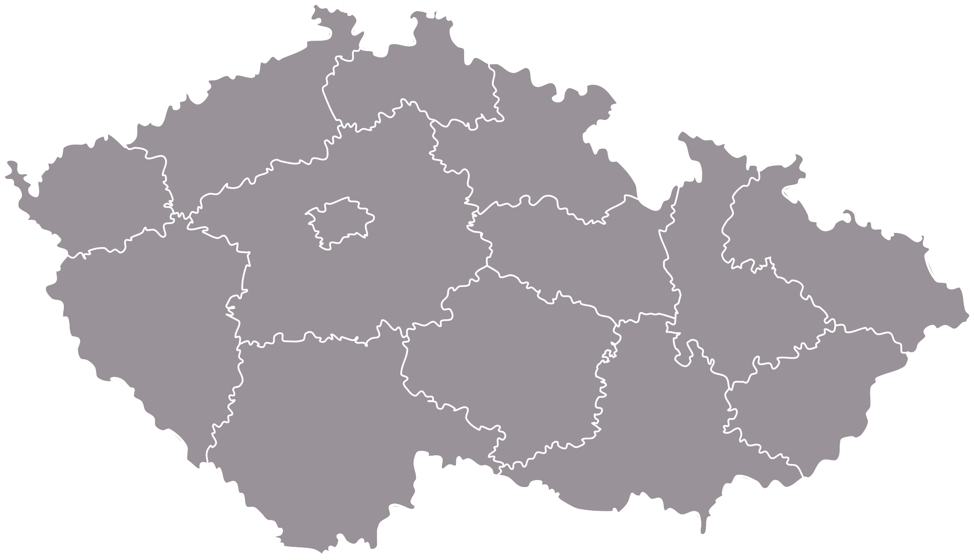
Size of this preview: 800 × 460 pixels. Other resolution: 2,000 × 1,149 pixels.
Original file (2,000 × 1,149 pixels, file size: 241 KB, MIME type: image/png)
Mapa + Čeština: Vektorová mapa Česka s dělením na kraje. V obrázku jsou drobné nepřesnosti dané jak hrubostí původních dat, tak vyhlazením. Jsou však minimální.
- English: A vector map of the Czech regions. The map contains small incorrectnesses caused by roughness of the original data and its smoothing. They are, however, minimal.
- Date: 2 July 2006
- Source: Tlusťa
- Author:
- Originál • data origin: Tlusťa
- Vyhlazení čar, úprava barev, export do svg • smoothing, colours, export to svg: Miraceti
+ pochází z Wikimedia Commons, kde má status – This work has been released into the public domain by its author, Tlusťa. This applies worldwide.
Kategorie:PD fotografie Kategorie:Locator maps of the Czech Republic
File history
Click on a date/time to view the file as it appeared at that time.
| Date/Time | Thumbnail | Dimensions | User | Comment | |
|---|---|---|---|---|---|
| current | 17:49, 18 April 2026 | | 2,000 × 1,149 (241 KB) | Admin-allmultimedia (talk | contribs) | == Popis == Locator117 |
You cannot overwrite this file.
File usage
There are no pages that use this file.
