


Krivoklat RA CZ.png
From allmultimedia.cz
Size of this preview: 628 × 600 pixels. Other resolution: 890 × 850 pixels.
Original file (890 × 850 pixels, file size: 52 KB, MIME type: image/png)
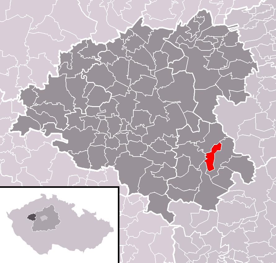
Mapa + Čeština: Poloha městysu Křivoklát v rámci okresu Rakovník a (s ním rozsahem totožného) správního obvodu obce s rozšířenou působností Rakovník.
- English: Location of Křivoklát municipality within Rakovník District and (identical) administrative area of Rakovník as a Municipality with Extended Competence.
- Date: February 2010
- Author: User:Miaow Miaow
Template:PD-self Kategorie:Locator maps of the Czech Republic
File history
Click on a date/time to view the file as it appeared at that time.
| Date/Time | Thumbnail | Dimensions | User | Comment | |
|---|---|---|---|---|---|
| current | 17:49, 18 April 2026 | | 890 × 850 (52 KB) | Admin-allmultimedia (talk | contribs) | == Popis == Locator117 |
You cannot overwrite this file.
File usage
There are no pages that use this file.
