


Okres bratislava IV.png
From allmultimedia.cz
Size of this preview: 427 × 599 pixels. Other resolution: 949 × 1,331 pixels.
Original file (949 × 1,331 pixels, file size: 102 KB, MIME type: image/png)
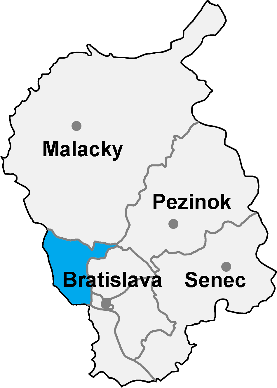
Mapa + English: map of the Bratislava region (Bratislavský kraj) in Slovakia, district (okres) of Bratislava IV highlighted
- Date: September 19th, 2004
- Author: Murli
+ pochází z Wikimedia Commons, kde má status – GNU Free Documentation License, Version 1.2 or any later version published by the Free Software Foundation; with no Invariant Sections, no Front-Cover Texts, and no Back-Cover Texts.
Kategorie:GNU fotografie Kategorie:Administrative units of Slovakia Kategorie:Maps of Bratislava
File history
Click on a date/time to view the file as it appeared at that time.
| Date/Time | Thumbnail | Dimensions | User | Comment | |
|---|---|---|---|---|---|
| current | 13:58, 10 May 2026 | | 949 × 1,331 (102 KB) | Admin-allmultimedia (talk | contribs) | == Popis == FirmySK |
You cannot overwrite this file.
File usage
The following page uses this file:
