


Samosprávné kraje.png
From allmultimedia.cz
Size of this preview: 800 × 474 pixels. Other resolution: 1,053 × 624 pixels.
Original file (1,053 × 624 pixels, file size: 48 KB, MIME type: image/png)
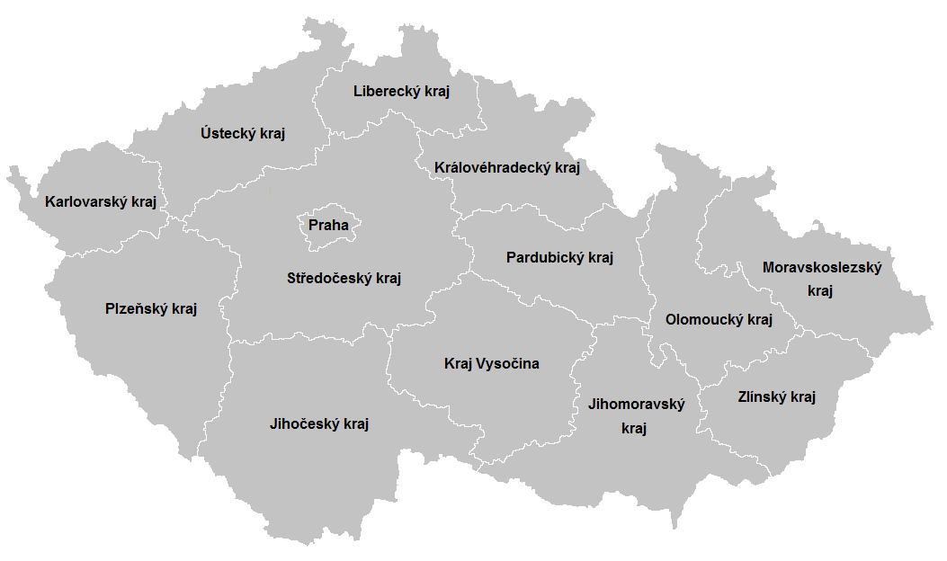
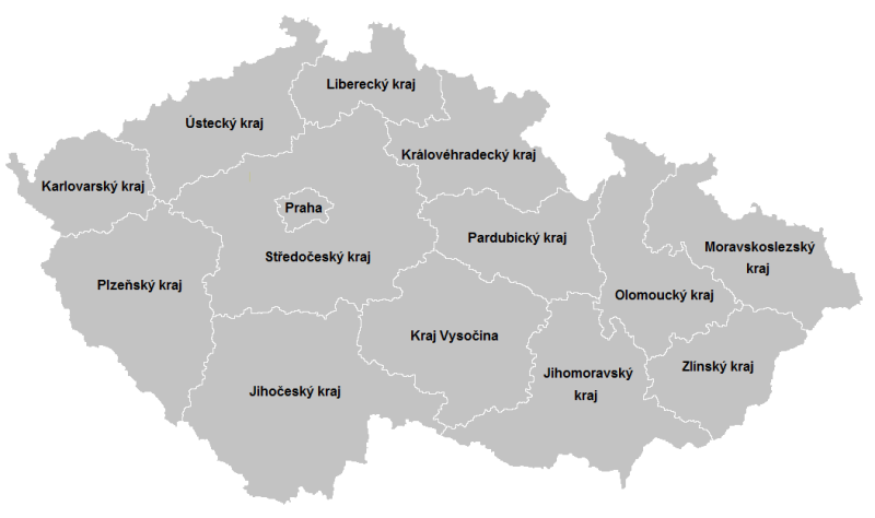
Mapa + Česky: Mapka českých samosprávných krajů (ústavní zákon č. 347/1997 Sb.)
- Author: Fext
+ pochází z Wikimedia Commons, kde má status – Creative Commons CC0 1.0 Universal Public Domain Dedication.
Kategorie:CC fotografie Kategorie:Locator maps of the Czech Republic
File history
Click on a date/time to view the file as it appeared at that time.
| Date/Time | Thumbnail | Dimensions | User | Comment | |
|---|---|---|---|---|---|
| current | 17:49, 18 April 2026 | | 1,053 × 624 (48 KB) | Admin-allmultimedia (talk | contribs) | == Popis == Locator117 |
You cannot overwrite this file.
File usage
There are no pages that use this file.
