


Slovakia kraj trnava.png
From allmultimedia.cz
Size of this preview: 800 × 390 pixels. Other resolution: 2,400 × 1,170 pixels.
Original file (2,400 × 1,170 pixels, file size: 302 KB, MIME type: image/png)
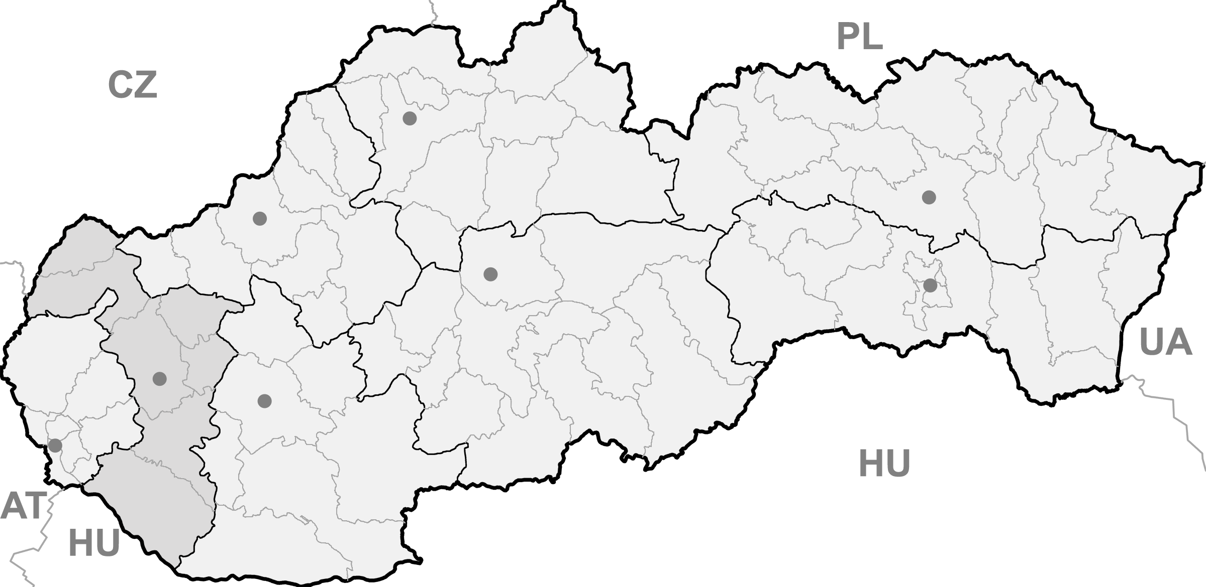
Mapa + English: Map of Slovakia, Trnava region highlighted
- Date: 06.01. 2007
- Author: Martin Pröhl
+ pochází z Wikimedia Commons, kde má status – I, the copyright holder of this work, release this work into the public domain. This applies worldwide.
Kategorie:PD fotografie Kategorie:Administrative units of Slovakia
File history
Click on a date/time to view the file as it appeared at that time.
| Date/Time | Thumbnail | Dimensions | User | Comment | |
|---|---|---|---|---|---|
| current | 17:48, 13 May 2026 | | 2,400 × 1,170 (302 KB) | Admin-allmultimedia (talk | contribs) |
You cannot overwrite this file.
File usage
The following page uses this file:
